
12 walks near Farnham with route lengths, parking charges, toilets and dog rules, from Farnham Park to the Devil's Punch Bowl. Checked October 2026.
There are 12 walks near Farnham here, each with its route lengths, parking charges, toilets and dog rules. The ones most people head for are Farnham Park, the free medieval deer park at the top of Castle Street; Frensham Great and Little Ponds, with marked routes from 450 metres to two and a half hours; Alice Holt Forest, with gravel trails for pushchairs; and the Devil’s Punch Bowl at Hindhead, for the views from Gibbet Hill.
Paths on the sandy heaths drain well, but the clay and woodland routes flagged below get muddy from autumn.
In and around Farnham
Farnham Park
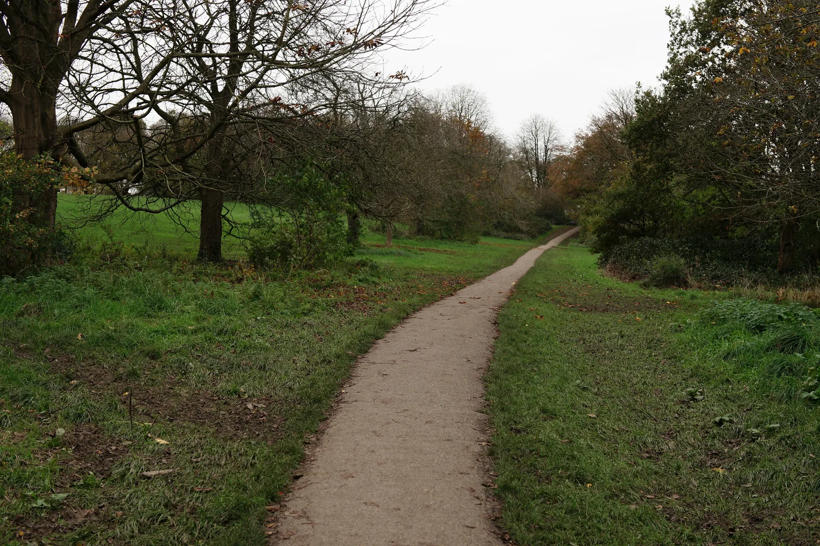
Waverley Borough Council’s 320-acre (130-hectare) park, a medieval deer park whose boundary, the council says, “has remained unchanged for over 600 years”. Its Farnham Park page describes rolling grassland, woodland, ponds and streams, and a circular route on tarmac with “a number of steep inclines and descents”, shared with cyclists. Paths get muddy, “especially in winter and to the north side, where there is clay soil”. The southern end is about 100 metres north of Castle Street, so you can walk in from the town centre. Toilets are at Birdies Coffee House and Bar, open seven days a week all year. Car park: Graham Thorpe Drive, Folly Hill, GU9 0FL, free at the time of writing, though the council says “restrictions are being implemented soon”. Cows can graze from April to November; the council asks for dogs on leads unless they can be recalled immediately.
Waverley Abbey and the River Wey
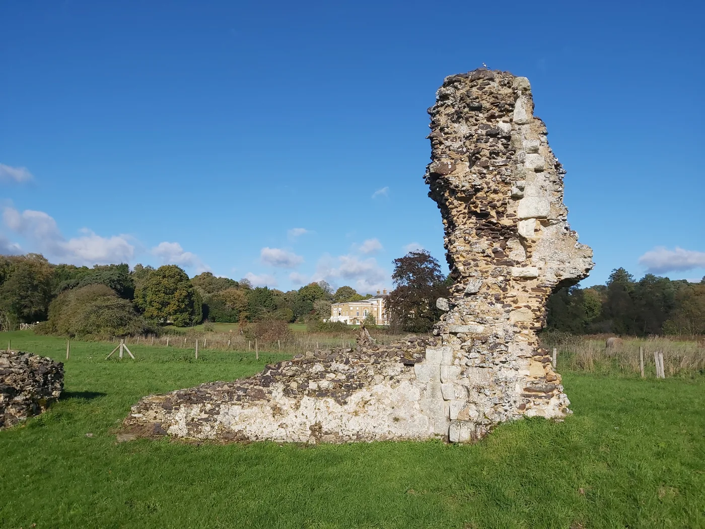
The ruins of the first Cistercian monastery in Britain, founded in 1128 by monks from France by the River Wey, about two miles south-east of the town. English Heritage says entry is free at “any reasonable time during daylight hours”. From the small car park (Waverley Lane, GU9 8EP) the ruins are about 350 metres away through a kissing gate and across a field of uneven turf, which may have cattle in it; dogs on leads are welcome. The Greensand Way runs past here beside the river towards Mother Ludlam’s Cave and Moor Park; the cave itself cannot be entered. A short visit rather than a long walk on its own, but it pairs with the riverside path.
Bourne Wood, Lower Bourne
Forestry England’s wood south of the town. Its walking page is plain about the main catch: “The trails in this forest are not waymarked”, so take a map or a phone route. In return, it says, the sandy soil gives a good walking surface and the tracks and public footpaths can be used all year. Forestry England also lists it for mountain biking, so expect bikes on the slopes. It sits next to the RSPB’s Farnham Heath, so the two can be joined into one walk. Postcode GU10 2BH. No parking charges or toilets are published for it.
Farnham Heath, Tilford
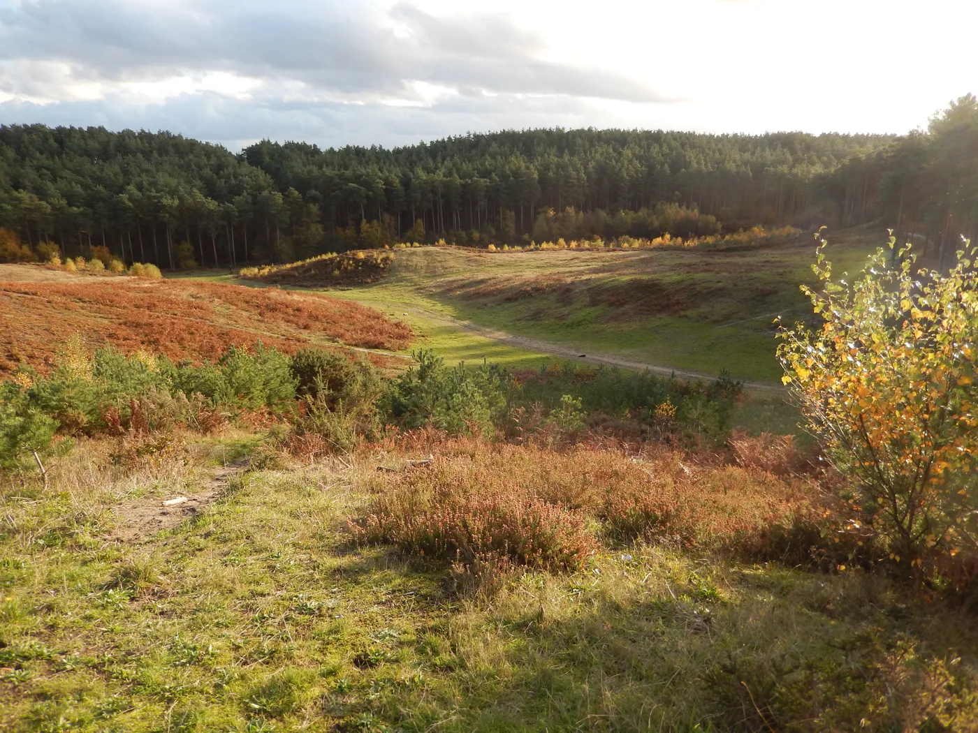
The RSPB’s heathland reserve beside the Rural Life Living Museum on The Reeds Road, Tilford (GU10 2DL). The RSPB lists three waymarked trails: orange, a 0.75-mile (1km) loop of about 30 minutes, mostly level and surfaced with one short slope; purple, 1 mile (1.5km), about 45 minutes, partly surfaced with tree roots; and green, 2 miles (3km), about 90 minutes, through acid grassland, bluebell woods and heath, with some steep slopes and muddy patches. Dogs are welcome on the footpaths and bridleways. The main car park belongs to the museum and is open on varying days, with six Blue Badge spaces; toilets are at the museum, so check its opening days before you rely on them.
South of Farnham: the ponds and the forest
Frensham Great Pond and Common
Around 1,000 acres of heath and water owned by the National Trust and managed by Waverley Borough Council. Waverley’s routes, set out on Frensham Parish Council’s walks page, all start at the Information Room by the pond: the Easier Access Loop (black, 450 metres, wheelchair accessible, with a boardwalk), the Heathland Explorer (purple, 25 minutes), the Great Pond Circular (green, 45 minutes, part of it along the road) and the Two Ponds Way (orange, two and a half hours, over King’s Ridge to the Little Pond). Waverley’s car park page gives Bacon Lane, Churt, GU10 2QB, open 8am to 9pm, charging £1.80 for an hour up to £7.00 all day by card or RingGo; National Trust members park free. It often fills by 10am. Toilets, including accessible ones, open about 8am to 9pm; there is no cafe at the Great Pond at present. Dogs on leads from March to August, and not on the beaches. Waverley’s page still carries a blue-green algae notice from June 2026 telling visitors to stay out of the water.
Frensham Little Pond
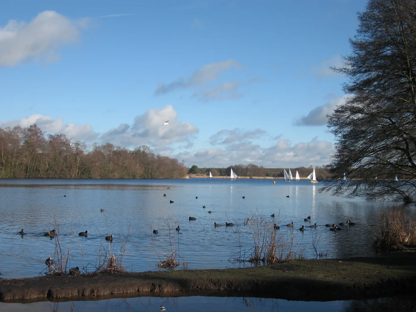
The quieter of the two, run by the National Trust. The Trust says both ponds were dug in the 13th century to supply fish to the Bishop of Winchester’s household when it stayed at Farnham Castle, and the heath around it is a Site of Special Scientific Interest, Special Protection Area and Special Area of Conservation. It notes that many paths are “smooth and fairly level”. The Tern Cafe sells snacks, cakes and drinks with outdoor seating only, and toilets beside it are open during cafe hours. Parking is in the Trust car park off Priory Lane (GU10 3BT), paid by machine, JustPark or at the cafe, with members free; parking on Priory Lane itself is prohibited. There is no phone signal, so set up the app at home. No swimming, and dogs on short leads from March to September. Details from the National Trust.
Alice Holt Forest
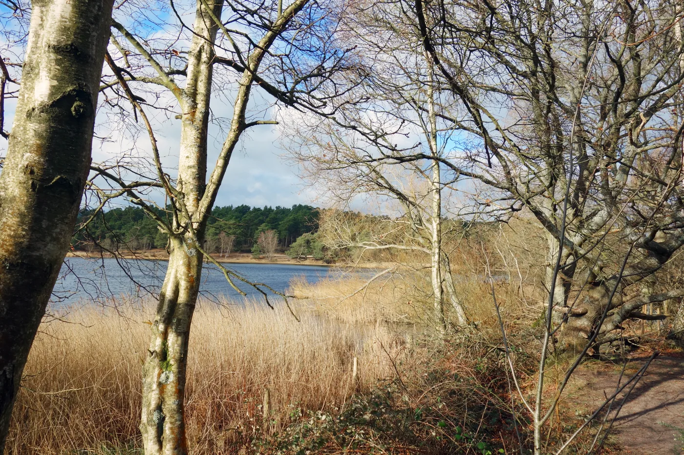
Forestry England’s forest at Bucks Horn Oak, GU10 4LS, about 3.7 miles south-west of the town, and the best choice here for pushchairs. The Easy Access Trail (pink markers) runs 0.7 miles (20 minutes) or 1.5 miles (40 minutes) on “a wide gravelled surface” with gentle gradients, no steps and benches along the way, and Forestry England says it suits most wheelchairs and pushchairs. The Lodge Pond Trail (purple, 2.5 miles, 60 to 75 minutes) goes on unsurfaced woodland paths, muddy when wet and not for pushchairs, to a pond Forestry England believes medieval monks made as a carp fishery. The car park is open 8am to 8pm and is the cost: from £3 if you leave before 10.30am to £15 all day at weekends, less on weekdays and in winter. There is no charge for arriving on foot or by bike. Cafe, toilets, a Changing Places toilet and a dog wash. See Forestry England.
Godalming and Puttenham
Puttenham Common and the North Downs Way
Surrey County Council’s common below the Hog’s Back, between Farnham and Guildford. Its visitor page lists three colour-coded trails: Woodlark, 3.5 miles, about two and a half hours; Bell Heather, 1.5 miles, about an hour, up to the Hillbury hill fort with no gates or stiles; and Butterfly, 1 mile, about 45 minutes, with some inclines. All five car parks are free, with a 1.9-metre height barrier; the top car park is on Suffield Lane, GU3 1BG. The council’s Puttenham Circular (3.5 miles, about 1.5 hours, with stiles, steps and climbs) takes in the village and part of the North Downs Way, the 153-mile National Trail that starts in Farnham. No toilets on the common; the council points to the Good Intent and Cyder House Inn pubs. Dogs under close control and on paths from 1 March to 15 September.
The Godalming Navigation, Godalming
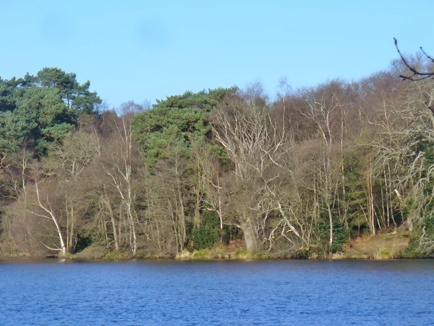
The riverside towpath out of Godalming. The National Trust, which looks after the waterway, says the Godalming Navigation opened in 1764 and let barges work four miles further up the Wey than the 1653 navigation from Weybridge to Guildford; the Trust describes its 20 miles of towpath as “partly accessible”. From Godalming the path runs through Phillips Memorial Park, which Waverley Borough Council lists with a riverside walk, a conservation meadow and the Grade II listed Phillips Memorial Cloister, then past the Lammas Lands water meadows towards Farncombe and on to Guildford, with Farncombe and Godalming stations for a one-way walk back by train. The Trust asks for dogs on leads in lock areas. Nearest parking: Crown Court car park, GU7 1HR, pay and display, with public toilets.
Hindhead and Haslemere
Devil’s Punch Bowl and Gibbet Hill, Hindhead
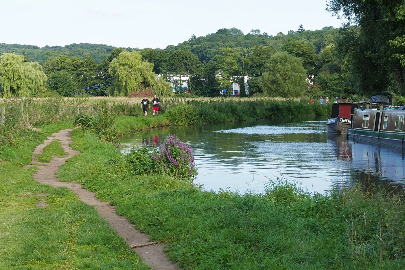
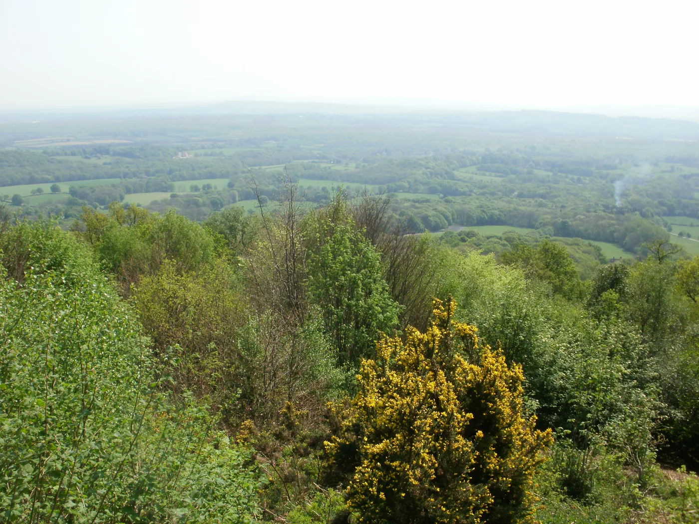
The National Trust’s heath and woodland above the A3 tunnel, in the Surrey Hills. The Trust says Gibbet Hill is the second highest point in Surrey, with views across the Weald. Routes from the car park, published by the Blackdown and Hindhead National Trust Supporters: the Sailor’s Stroll, 1 mile, mostly on a surfaced road open to traffic and suitable for pushchairs and wheelchairs; Hidden Hindhead, 3.1 miles (about 1.5 hours) to Gibbet Hill and the Temple of the Four Winds; the Highcombe Hike, 3.2 miles, with a steep climb through ancient woodland at the end; and the ROAM 639 Trail, 6.39 miles, graded demanding. The Trust also has a 300-metre easy access circuit to a sandstone viewing platform, and warns that paths down into the bowl are very steep. Parking: London Road, GU26 6AB; £2 for an hour up to £9 all day, members free, by machine or JustPark (no phone signal). Cafe, toilets and a Changing Places toilet. The Trust asks for dogs on a short lead.
Witley and Milford Commons
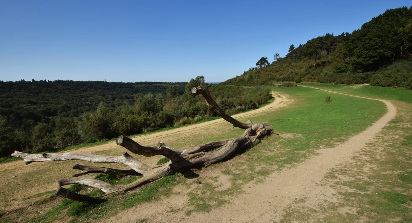
The National Trust says that if you are “new to exploring the countryside”, this is “a good place to start”: the footpaths and bridleways are clearly marked, many paths are smooth and fairly level, and there are benches throughout. Children have the Wild About Witley natural play trail, starting from the Webb Road car park, and the Trust calls the common “a fungi paradise”, which makes autumn a good time to go. Parking off Haslemere Road, Witley (GU8 5QA): £2 for an hour, £4 for two, £6 for four, £9 all day, members free, by machine or JustPark. There are no toilets. Witley station is about 15 minutes’ walk and Milford station is also close. Dogs on a short lead in the ground-nesting season, which the Trust gives as 1 March to 31 July. Details from the National Trust.
Black Down, Haslemere
The National Trust’s heath just over the Sussex border south of Haslemere, the highest point in the South Downs National Park, and the view Tennyson wrote about: “Green Sussex fading into blue with one grey glimpse of sea”. The Trust says a well-used, accessible track from the main car park makes a circular tour with wide views, that pushchairs can get on easily, and that the sandy tracks make it “a great spot for walking at any time of the year”. Old sunken lanes and droveways run off the top. Parking is free in three Trust car parks on Tennyson’s Lane, satnav GU27 3AF for the main one. There are no Trust toilets; the nearest public ones are in Haslemere’s Waitrose car park. Cattle graze the heath and dogs should be on leads; no fires or barbecues. Details from the National Trust.
How we chose
These are the walks around Farnham with marked routes and published visitor details: the town’s own park and abbey, the woods and heaths on its southern edge, the Frensham ponds, Alice Holt, and the best-known commons around Godalming and Haslemere. The details come from the councils, the National Trust (its visitor pages and published visitor information), Forestry England, the RSPB, English Heritage and Surrey County Council, as linked in each entry. Parking charges and dog rules change, so check the landowner’s page on the day. Run one of these places, or spot something that has changed? Email newsdesk@farnhamtoday.co.uk.
For more ideas, see things to do in Farnham, what’s on in Farnham this month, Farnham playgrounds and parks, Winkworth Arboretum this autumn and winter, parking in Farnham, our guides to Farnham pubs, cafes and Sunday roasts for after the walk, or browse local businesses in Farnham in our directory.
Frequently asked questions
What is the best free walk near Farnham?
Farnham Park, at the top of Castle Street, is free to walk in and its car park off Folly Hill (GU9 0FL) is free at the time of writing, though Waverley Borough Council says restrictions are coming soon. It is a 320-acre medieval deer park with a tarmac circular route, toilets and a cafe open all year. Waverley Abbey, two miles south-east, is also free during daylight hours.
Which walks near Farnham are suitable for wheelchairs and pushchairs?
Alice Holt’s pink Easy Access Trail (0.7 or 1.5 miles on a wide gravel surface), the 450-metre Easier Access Loop at Frensham Great Pond, the National Trust’s 300-metre easy access route to a viewing platform at the Devil’s Punch Bowl, and the Sailor’s Stroll to Gibbet Hill, which is mostly on a surfaced road. Farnham Park’s tarmac circuit has some steep slopes.
Do dogs have to be on a lead on the commons near Farnham?
On the heaths, for part of the year. Waverley asks for leads at Frensham Great Pond from March to August, the National Trust from March to September at Frensham Little Pond, and Surrey County Council asks for close control at Puttenham Common from 1 March to 15 September, to protect ground-nesting birds. Farnham Park and Black Down have cattle grazing, so leads there too.
Have your say